Kokkola National Urban Park on the map
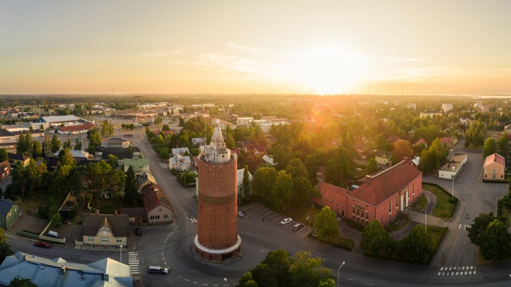
Kokkola National Urban Park extends from the Luoto and Kokkola archipelago, where seafaring and recreational maritime histories and nature values are well-preserved on the islands of Tankar and Poroluodonkari, across Trullevi, Harriniemi and Vanhansatamanlahti through the strait of Sunti and the adjacent green spaces into the wood-built quarters of Neristan, Oppistan and Mäntykangas, and the railway station.
Kokkola National Urban Park is the largest and most nautical of Finland’s national urban parks. It covers 19,830 hectares, of which 1,215 hectares is land and 18,615 hectares is water. Approximately 15,480 hectares of the park is under a general plan, of which 263 hectares is under a land use plan, and of these approximately 87 hectares has been designated as green space. The total area of local Natura 2000 sites is approximately 17,463 hectares, of which around 10,100 hectares is state-owned and 7,350 hectares is under private ownership.
Kokkola National Urban Park extends to several districts and areas. It includes land and properties in the following districts: Hakalahti (district no. 8), Halkokari/Mustakari (no. 102, 106), Hollihaka (no. 4, 5, 9, 21, 24), Mäntykangas (no. 7), Neristan (no. 3), Pikiruukki/Tullimäki (no. 59), Sannanranta/Elba (no. 37), Morsiussaari (no. 112) and the centre of Kokkola (no. 1, 2, 10).
Kokkola National Urban Park on the mapYhteystiedot
-
Sini Sangi
Kaupunginpuutarhuri
Phone
E-mail
Unit
Kaupungin varikko
Service area
Puistot ja liikuntapaikat