The geographic datasets include digital map and register data that describes features such as natural resources, the state of the environment, land use and land use planning, land ownership, construction or housing.
In the geographic datasets, the particular sites have location and characteristic data. The location is often described with x and y coordinates, allowing the object to be placed on a map. Characteristic data provides information about the site that is unique, descriptive, classifiable or measurable. By combining the characteristic data, different geographic datasets can be combined to create new sets.
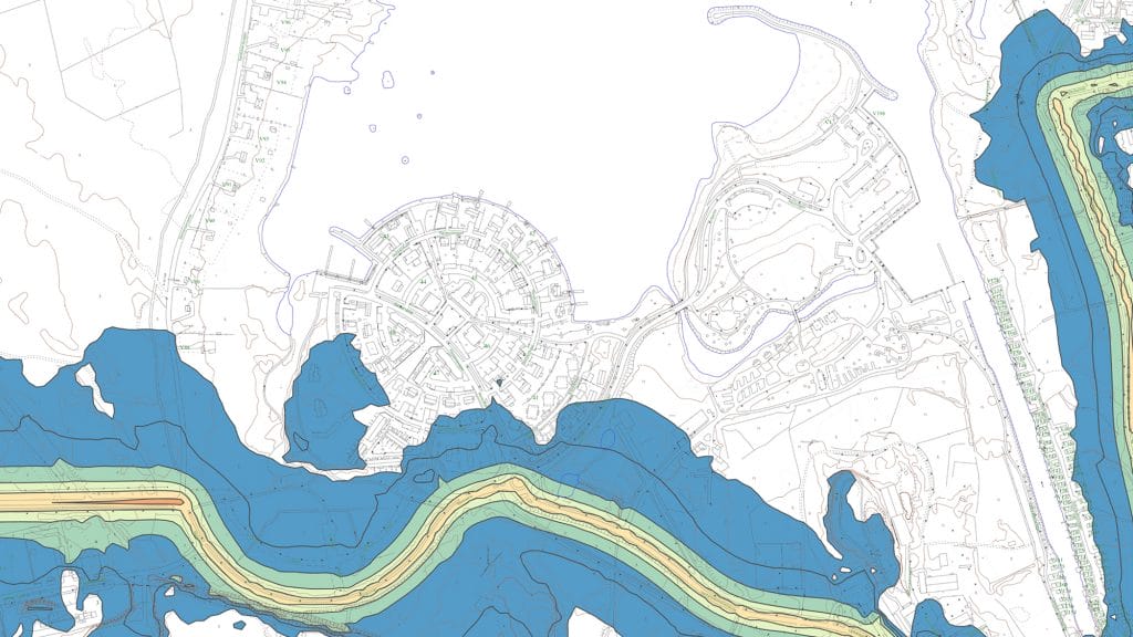
Geographic data surveys and analyses provide information on the distribution of different geographic phenomena in order to support the City’s planning and decision-making. Lists and statistical summaries of the results of the analyses can be produced, and these results are often illustrated in map form.