Inspire is an EU directive that creates from national geographic datasets and services a common, coherent and easily accessible geographic data infrastructure for EU Member States. The aim is to ensure the interoperability of geographic data and to improve the monitoring of the state of the environment.
Producers of geographic datasets can add their own datasets for viewing and downloading via the interfaces. Some of the datasets can be freely viewed and downloaded, some may require IDs or identification. (National Land Survey of Finland)
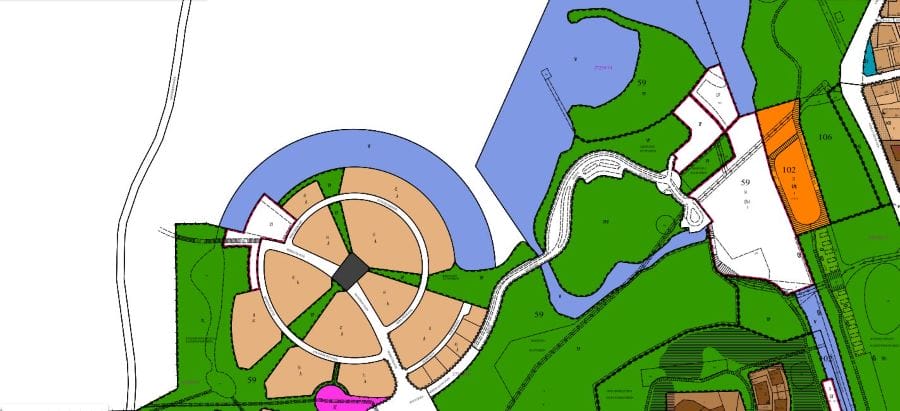
The viewing service is an interface that allows you to view the geographic dataset as a map image. The geographic datasets can be viewed using software that is able to send queries to the interface using the WMS or WMTS standard.
https://kartta.kokkola.fi/TeklaOGCWeb/wms.ashx
The download service is an interface that enables the copying of parts of the geographic datasets to your computer.
https://kartta.kokkola.fi/TeklaOGCWeb/WFS.ashx